
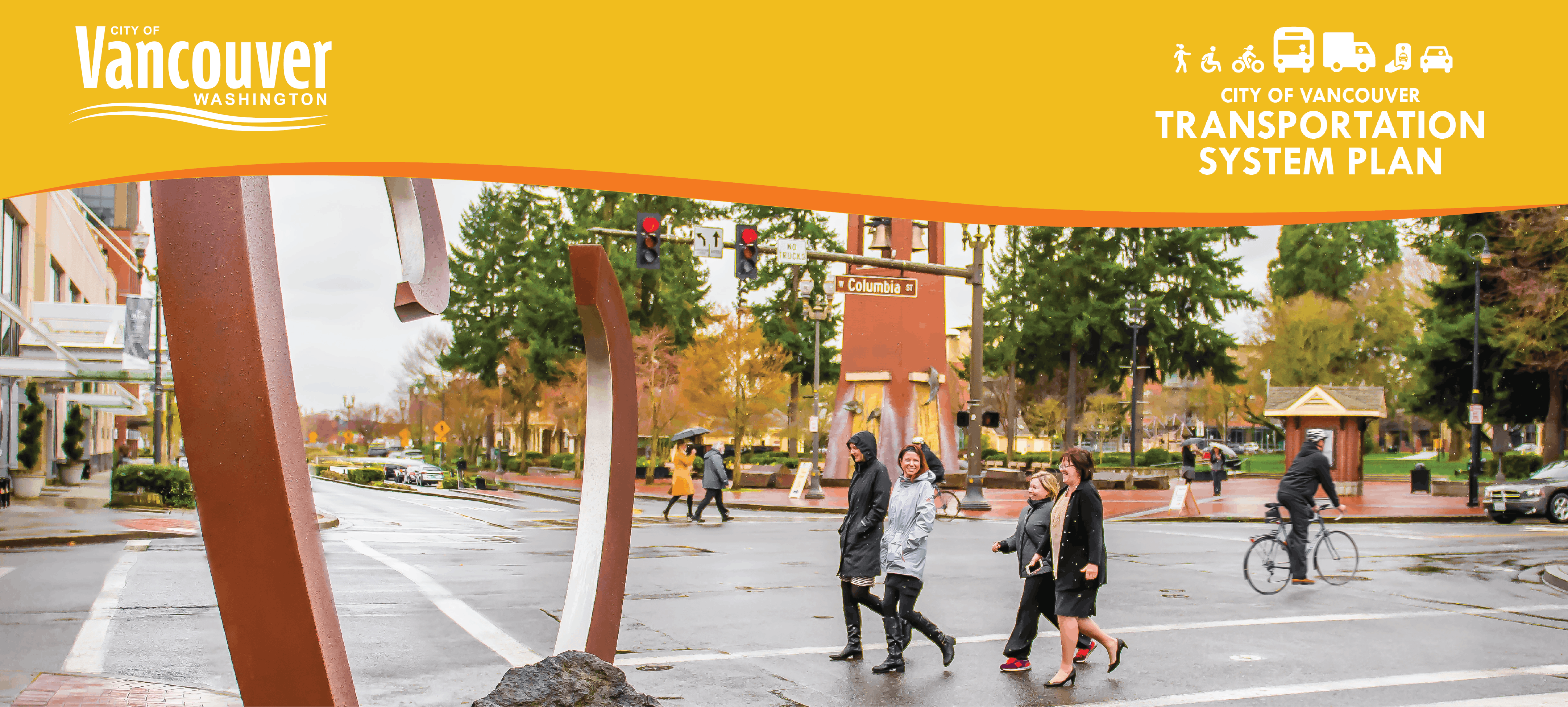
Transportation System Plan
Consultation has concluded
Plan Adopted: January 2024
The Transportation System Plan was approved and adopted by Vancouver City Council on the 8th of January, 2024. Review the final TSP Plan and appendices in the Project Documents on the right side of the page.
The City of Vancouver is proud to share the 2024 Transportation System Plan (TSP). The TSP is the broad vision for our transportation system – and a roadmap for getting there. The TSP will guide investments in our transportation system for the next 20 years. Vancouver’s transportation system includes our network of streets, sidewalks, bicycle routes, bus routes, trails, and ADA-accessible facilities.
Since the last TSP was published in 2004, our City has grown and more people and businesses now call Vancouver home. The TSP will help us address new transportation trends resulting from this growth while supporting the City’s broader goals around transportation safety, climate-friendly transportation, and equitable travel options for all people.
Most importantly, the TSP is a community-driven planning process to shape the future of our transportation system for the next 20 years. Since the project launched in 2020, we’ve spoken and heard from hundreds of Vancouver residents, businesses, and organizations online and through in-person outreach at Farmer’s Markets, schools, and neighborhood associations. Now, we’re ready to share the Plan with the community.
The draft and final Plans went through formal review and public comment periods in front of the Vancouver Transportation Mobility Commission and Vancouver City Council in December 2023 and the plan was adopted by City Council in January 2024.
What is a Transportation System Plan?
A Transportation System Plan will help guide the City's future transportation system and serves as the update to the City's previous Transportation System Plan, last updated in 2004. The plan will explore transportation needs and priorities in partnership with Vancouver residents, employees, and visitors.
The Transportation System Plan examines existing travel conditions for all users of the city's transportation system, including those who drive, walk, bicycle, ride transit, or deliver freight. The City spoke to residents about their transportation priorities, with additional focus on communities that have been historically under-served by transportation investments.
Building from these conversations over the coming year, the Transportation System Plan identifies recommended policies, programs, and projects to guide the City's transportation future.
Why Transportation Matters
Vancouver residents depend on the transportation system every day.
Transportation matters because everyone in Vancouver deserves a safe and reliable transportation system that meets their daily needs. Much has changed since the City’s current Transportation System Plan was adopted in 2004. Since 2010, Vancouver has welcomed more than 14,000 new residents and 10,000 new jobs, meaning the transportation system must meet the needs of a growing community. The transportation system must also adapt to changing community needs, while supporting the city's health and economy.
Tell Us Your Transportation Story
This is the place where you can share your own personal story about how transportation affects your daily life in Vancouver.
You can share anything you want, but here are some examples of things you could tell us:
- What are travel conditions like where you live, work or commute?
- Do you usually drive, walk, bike, ride transit or something else?
- Where do you usually go and what are your favorite places to visit in the city?
- How long is your average trip?
- What do you like about the city's transportation system?
- Do you feel safe travelling in Vancouver?
- What transportation topics are important to you?
Please note that your story will be visible to all users after you submit it.
-
Share Afraid to cross the street on foot on Facebook Share Afraid to cross the street on foot on Twitter Share Afraid to cross the street on foot on Linkedin Email Afraid to cross the street on foot link
Afraid to cross the street on foot
I live in Ellsworth Springs, very close to I-205 and SE 10th St. I can walk around my block, but I have observed that the intersections at 10th St and Ellsworth, 205 and Chkalov are dangerous to the few pedestrians that dare cross the road. Cars here are generally not expecting pedestrians. The one time I tried to cross 10th going north, pushing my kid in a stroller, a Southbound SUV on Ellsworth nearly plowed us down in the intersection. That was 7 years ago and I have avoided crossing 10th Ave. on foot since. I wonder if there is... Continue reading
-
Share plfels@gmail.com on Facebook Share plfels@gmail.com on Twitter Share plfels@gmail.com on Linkedin Email plfels@gmail.com link
plfels@gmail.com
I live in the Northwest Neighborhood and frequently ride my bicycle to downtown Vancouver. The ride is easy and is now even easier with completion of the Columbia Street bike lane and especially the new pavement. One issue that continues is that street edges, where the bike lanes are, tend to accumulate trash and leaves. This makes riding in the bike lanes and sides of streets dangerous. More frequent street cleaning - or at least bike lane cleaning - would make bike riding safer for everyone.Also, although I enjoy riding the Burnt Bridge Creek bike lane and trail from... Continue reading

Project Documents
-
 Transportation System Plan Final Feb 2024.pdf (25.9 MB) (pdf)
-
 Transportation System Plan Appendices
-
A_State of Mobility.pdf (6.74 MB) (pdf)
-
B_Public Engagement Summary - Milestone 1.pdf (8.65 MB) (pdf)
-
C_Public Engagement Summary - Milestone 2.pdf (1.41 MB) (pdf)
-
D_Existing Conditions.pdf (14.8 MB) (pdf)
-
E_Policy Opportunities & COVID Travel Patterns.pdf (5.79 MB) (pdf)
-
F_Pedestrian Crossing Policy.pdf (2 MB) (pdf)
-
G_Enhanced Transit Policy.pdf (14.5 MB) (pdf)
-
H_TSP Modal Networks, Policies, and Programs.pdf (5.74 MB) (pdf)
-
I_Funding Memo.pdf (600 KB) (pdf)
-
J_Collision Dashboard Tutorial.pdf (924 KB) (pdf)
-
K_Local Road Safety Plan.pdf (2.91 MB) (pdf)
-
L_TIA-TIF-Concurrency Memo.pdf (2.01 MB) (pdf)
-
M_Accessible Modal Networks.pdf (377 KB) (pdf)
-
N_Public Engagement Summary - Milestone 3.pdf (941 KB) (pdf)
-
-
Transportation System Plan - Draft Goals Framework - March 2022 (273 KB) (pdf)
-
What is a Transportation System Plan? (1.38 MB) (pdf)
-
Project Newsletter: Fall 2022, English (607 KB) (pdf)
-
Project Newsletter: Fall 2022, Español-Spanish (701 KB) (pdf)


